Between 2013-2019, TCAT’s Active Neighbourhoods program used a co-design approach to engage residents in shaping active, livable neighbourhoods. A critical initial step in the co-design process is the development of a neighbourhood “Portrait” to understand how residents use public space and identify local needs and interests. These neighbourhood portraits bring together the results of broad citizen engagement with secondary data (like census information and transportation data) to create a diagnostic portrait of the assets, strengths, and infrastructure gaps in the neighbourhood.
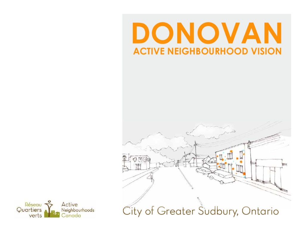
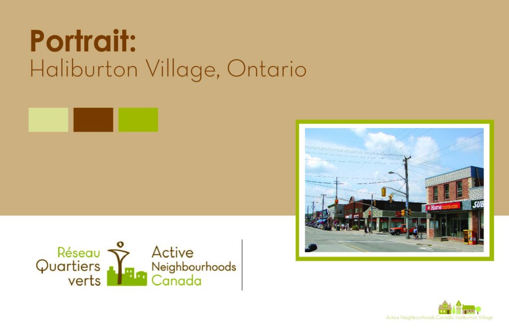
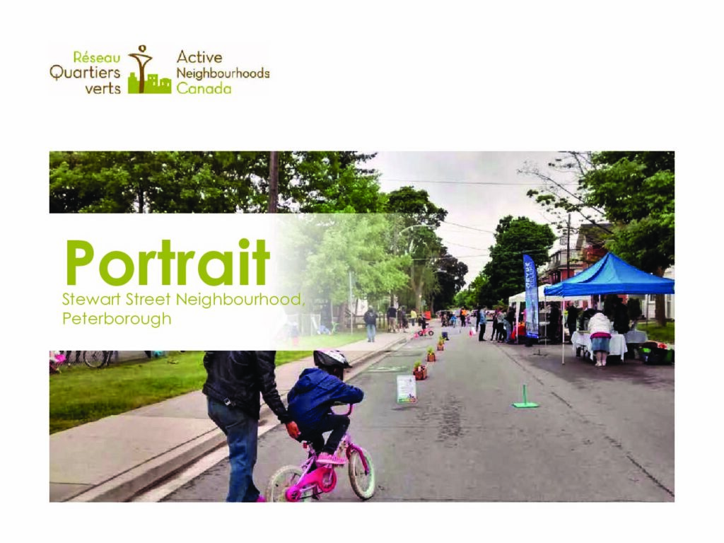
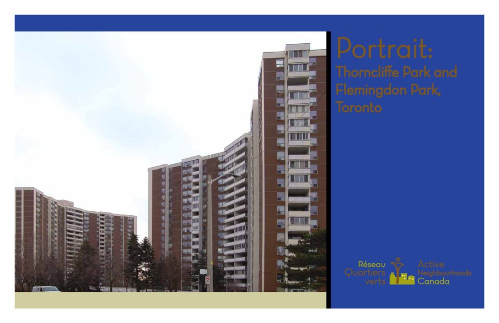
Below you can explore the portraits of our Active Neighbourhoods communities: Jackson Park Brookdale in Peterborough, the Donovan Neighbourhood in Sudbury, Haliburton Village in Haliburton County, the Stewart Street Neighbourhood in Peterborough, and Thorncliffe Park and Flemingdon Park in Toronto. The Peterborough portraits were produced in partnership with GreenUP.
In the “Vision” phase following the Portrait phase, we collaboratively developed a vision for the neighbourhood using key design priorities identified by the community, and explored how they could be applied.